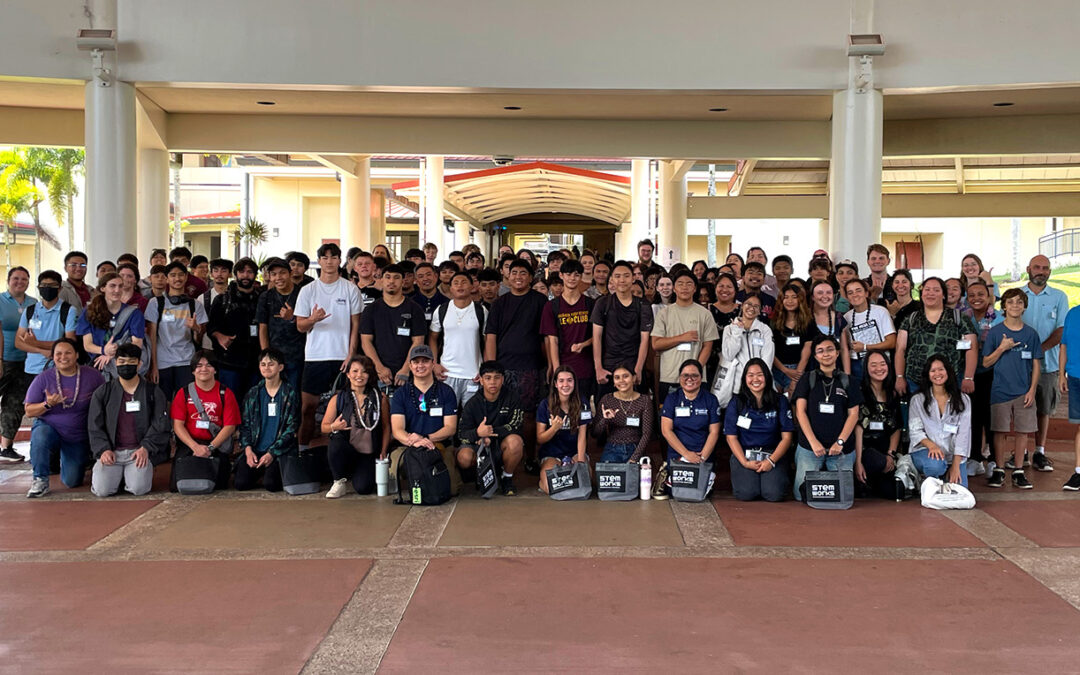
Above:More than 150 students and educators attended GIS Day 2025 at UH Hilo.
On November 20, 2025, more than 150 students and educators from across East Hawaiʻi came together at the University of Hawaiʻi at Hilo for GIS Day — an annual celebration of geospatial science and the many ways it shapes our understanding and relationship to our world.
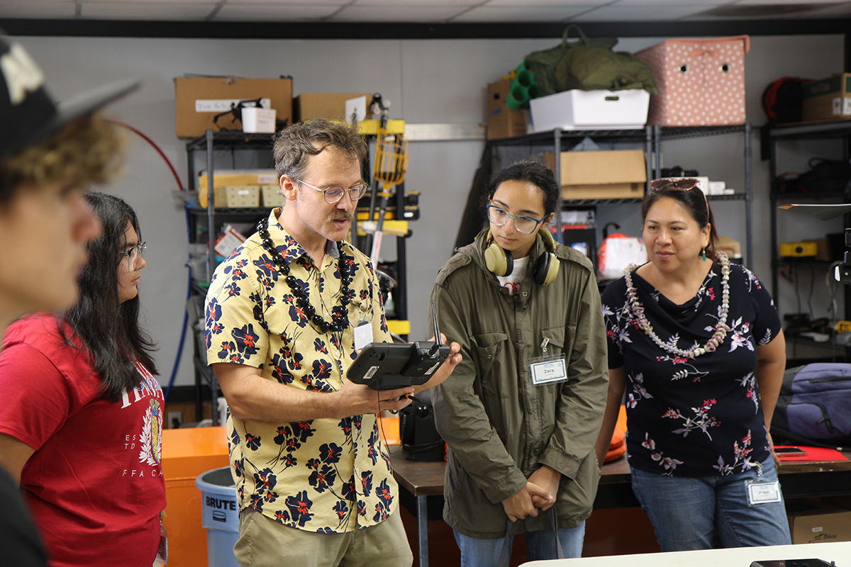
Dr. Ryan Perroy demonstrates a LiDAR mapping system at the Spatial Data Analysis and Visualization Lab at UH Hilo.
This year’s event in Hilo was led by Maui Economic Development Board (MEDB) and its STEMworks program, in partnership with UH Hilo’s Pacific International Space Center for Exploration Systems (PISCES) and the Spatial Data Analysis and Visualization Research Lab (SDAV).
“GIS Day was a tremendous success thanks to the collaboration and efforts of MEDB, STEMworks, UH Hilo, and the many educators and mentors who supported the event,” said Chris Yoakum, communications and outreach officer at PISCES. “We’re incredibly grateful to everyone who helped make this experience possible for our local students.”
The day began with remarks from Dr. Simon Kattenhorn, Dean of the UH Hilo College of Natural and Health Sciences, who shared his geospatial research on detecting water on other planets. His presentation highlighted how GIS and remote-sensing skills support science, engineering, and environmental problem-solving—not only on Earth but across the solar system.
A total of 154 students and educators from Keaʻau High School, Hilo High School, Hawaiʻi Academy of Arts & Science, Waiākea High School, and Ke Kula ʻO Nāwahīokalaniʻōpuʻu participated in the hands-on event. Students rotated through seven workshops led by GIS professionals and educators specializing in volcanology, ArcGIS and spatial mapping, conservation, traditional wayfinding, and invasive species management. Technology with a key focus of each session with demonstrations of drones, LiDAR, ground-penetrating radar, and spatial mapping software. Students also met face-to-face with GIS professional during a speed networking session to talk story and ask questions about their work.
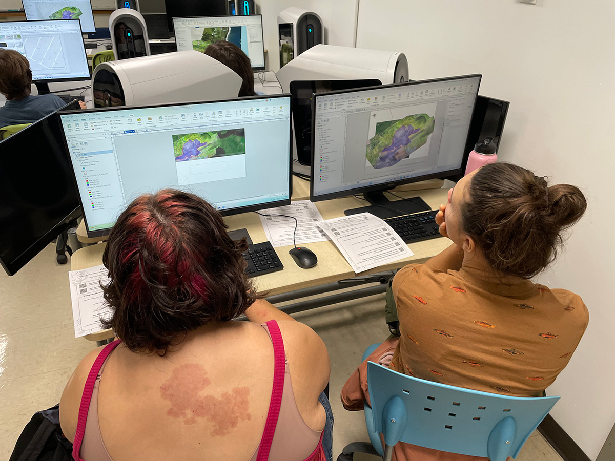
Students explore mapping technology software at the Spatial Data Analysis and Visualization (SDAV) Lab at UH Hilo.
GIS Day Hilo was made possible through the leadership of MEDB and STEMworks, and the strong collaboration of partners across UH Hilo. PISCES Avionics Engineer and Program Manager Amber Imai-Hong and Administrative Specialist Ashley Truchan were also instrumental in coordinating the event. Mahalo nui to all the partners, presenters, teachers, and students who made GIS Day 2025 a memorable and inspiring event.
“Much mahalo for organizing the GIS event,” a high school educator told STEMworks. “Our kids had a great time, and so did we. You planted seeds that will grow. Our students will find their way.”
Events like GIS Day are an important part of PISCES’ mission to inspire the next generation of local STEM leaders and professionals. We were thrilled with the outcome and hope to continue hosting and supporting GIS Day for many years to come.